

Is NYC getting windier? Here's what's causing all the gusty weather
Why has it been so windy in New York City?
Have you noticed New York City has felt especially windy lately? You’re not imagining it. This March, NYC has been stuck in a rare weather pattern producing frequent, powerful gusts—some reaching near-gale force. FOX 5 Meteorologist Audrey Puente breaks down the science behind the wind surge.
NEW YOR - If you feel like New York City has been windier than usual… you're not imagining it!
Meteorologists say that the Tri-State area has been stuck in a gusty weather pattern that will last all the way into May.
FOX 5 NY's Meteorologist Audrey Puente breaks down the recent blustery conditions and the science behind the wind surge in the NYC area:
‘Near gale’ force winds in NYC
What we know:
The New York City area has experienced several weeks of unusually persistent windy weather, with gusts frequently reaching between 30 and 40 mph — considered "near gale" force by the National Weather Service.
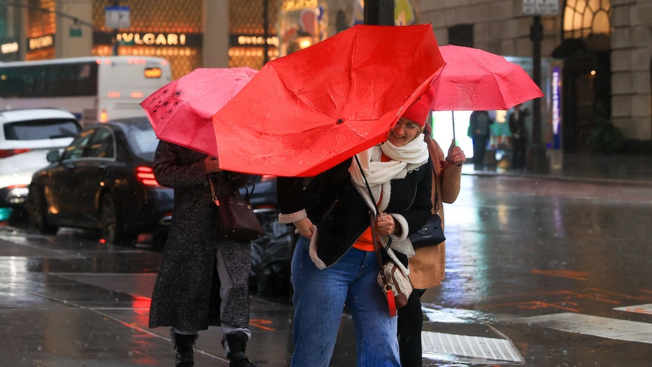
New Yorkers walk in the heavy rain on the Fifth Avenue, near Central Park as April storm brings heavy rains and gusty winds on Tuesday and Wednesday in New York City, United States on April 3, 2024. (Photo by Selcuk Acar/Anadolu via Getty Images)
By the numbers:
- Average wind gusts in March: 25 to 30 mph (classified as a "strong breeze")
- More than half of the days this month had gusts in the 30 to 40 mph range ("near gale" force)
Why is NYC so windy?
Dig deeper:
"What we've had is several storm systems over the last week or two that have moved across the central United States into the Great Lakes and to the interior or southeastern Canada," said Nelson Vaz, warning coordination meteorologist for the National Weather Service in New York. "And then we've had high pressure off the coast. And in between those two systems… the more tightly [isobars] are packed, the stronger the winds are going to be."

Meteorologist Steven DiMartino, owner of NYNJPAWeather.com, said seasonal change is contributing as well.
"We're having changes in the season, which you would expect for this time of year being spring. This year, because of a lot of different forcing mechanisms — the polar vortex collapse, tropical force — things kind of all over the place is leading to enhancement of the polar and subtropical jet streams. What that basically means for you is that cold front and low pressure systems are a little bit more amped," DiMartino explained.
In urban environments like Manhattan, the effects are intensified.
"What would normally be a 20 mile per hour wind gust ends up being a 40 mile per hour wind gust because that air is being forced in between those two large buildings," said DiMartino.
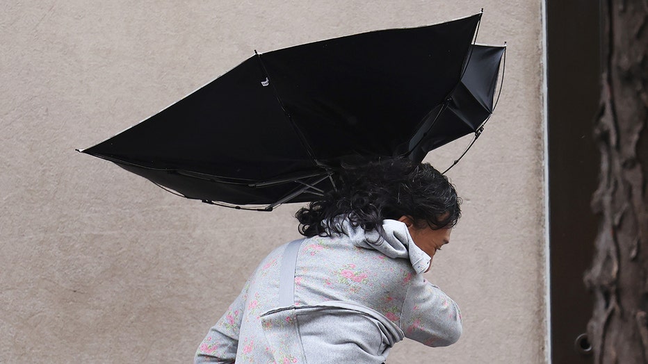
People use umbrellas as they battle wind and rain amid a storm on August 09, 2024 in New York City. (Photo by Michael M. Santiago/Getty Images)
What's next:
The current gusty pattern should begin to fade in early May, according to meteorologists. After that, occasional breezy days are still possible, but attention will shift to the threat of spring thunderstorms.
"As we move through April into May, you'll just have, you know, an occasional breezy day. But for the most part, things will start to calm down. And then we got to look out for severe thunderstorms," DiMartino said.
The Source: This article was written using information from FOX 5 staff and the National Weather Service.