Inside look at how the National Weather Service office is handling local wildfires
Inside look at the National Weather Service office
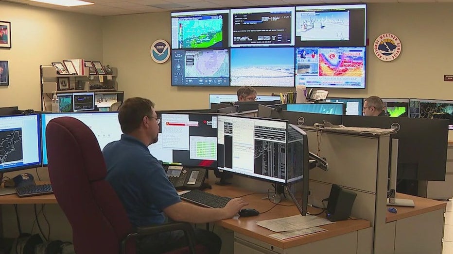
FOX 5 has an exclusive inside look at where forecasters spend the day and night keeping an eye on weather conditions outside. FOX 5 NY’s Jodi Goldberg takes us into a place most people rarely get to see, the National Weather Service Office on Long Island.
LONG ISLAND - Meteorologists at the National Weather Service in Upton on Long Island monitor weather models 24 hours a day, 365 days of the year.
It’s the federal government’s home base for all things weather in the tri-state, including tracking our dangerously dry conditions.
Nelson Vaz is the Warning Coordination Meteorologist at the national weather service - he helps sift through data to ensure the most accurate forecast.
"We’re continuously observing the weather, we're forecasting the weather," he said. "One of the highest priority things we do is issue warnings alerting the public and public safety officials about hazardous weather that may approach so we can better prepare for it. We’re basically 6–9 inches below normal as we’ve gone into the fall season for rainfall."

FOX 5 NY got an exclusive inside look at the national Weather Service office on Long Island.
Gusty winds, dry vegetation and low humidity pose the greatest risk for fast-spreading brush fires.
"The breezier the conditions, the higher the threat for red flag warning conditions," said meteorologist Joe Pollina. "We’re also looking for little to no rain over the past few days, which is why we've been seeing over the past few months."
Forest rangers with the New York State Department of Environmental Conservation have been assisting with the deadly Jennings Creek wildfire upstate. They’re on standby locally if needed.
RELATED: NJ firefighters battle new wildfire in Lakewood
"I’ve been on the job since 2002. I can’t remember a fire season this extreme," said forest ranger Captain Scott Jackson with the New York State Department of Environmental Conservation.
Whether it’s rain, snow or the severe drought we’re dealing with, the forecasting of it starts right on Long Island.

